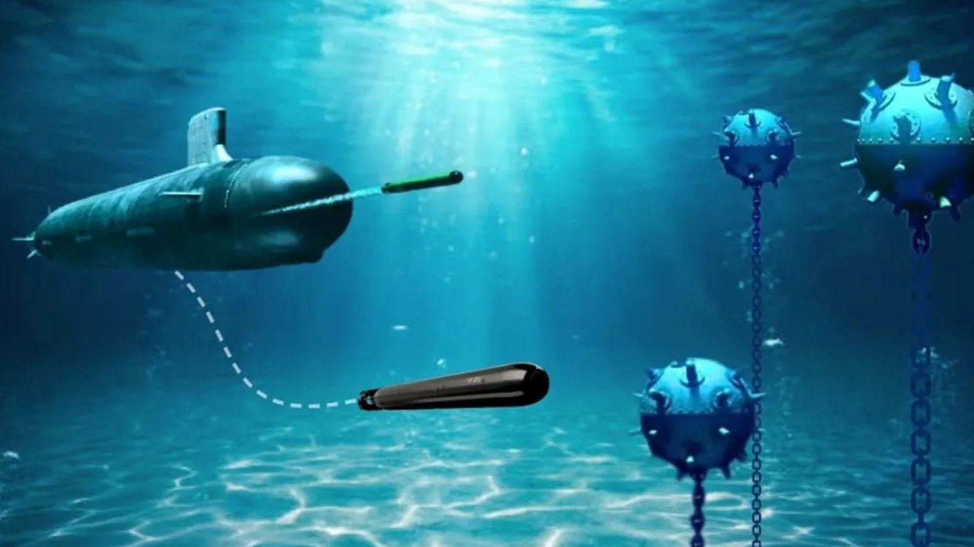
Scientists have developed an airborne imaging system that uses artificial intelligence to detect unexploded underwater munitions in shallow coastal waters with high precision.
The new method combines advanced multispectral imaging with machine learning to identify dangerous objects hidden beneath the sea surface. Researchers say the approach improves detection accuracy while reducing false positives in challenging marine environments.
The research was carried out by scientists at the University of Miami Rosenstiel School of Marine, Atmospheric, and Earth Science. Their findings were published in the April edition of Frontiers in Marine Science. The study shows how combining NASA-developed underwater imaging technologies with AI can improve the search for unexploded weapons in coastal waters.
Unexploded ordnance, commonly known as UXO, includes bombs, shells, mines, and other military explosives that failed to detonate. Many of these weapons remain underwater decades after military operations and training exercises. They continue to pose risks to public safety, marine life, shipping, fishing, and coastal development.
Finding these underwater hazards has remained difficult for many years. Shallow waters less than 10 meters (about 33 feet) deep present unique challenges for existing detection systems. Surface waves, cloudy water, sediment, and marine growth often hide objects from traditional detection methods.
Conventional acoustic systems, such as sonar, can search underwater but often struggle to cover large coastal areas efficiently. Standard optical cameras also face problems because moving waves distort seafloor images. These limitations increase the chances of missing dangerous objects or identifying harmless debris as threats.
How Airborne Imaging Works
To solve these problems, researchers tested a new airborne imaging system above shallow coastal waters. The team conducted imaging missions over Broad Key, a research island in the northern Florida Keys. They placed inert munitions and harmless decoy objects at two different underwater locations for testing.
The aircraft and drones used during the missions carried two advanced NASA-developed technologies. One was called Fluid Lensing, while the other was MiDAR, which stands for Multispectral Imaging, Detection, and Active Reflectance. Together, these systems collected detailed images of the underwater environment.
Fluid Lensing improves underwater images by correcting distortions caused by ocean surface waves. This allows researchers to capture clearer and more detailed views of the seafloor from the air. Better image quality helps AI systems recognize underwater objects more accurately.
MiDAR uses active light across multiple wavelengths rather than relying solely on natural sunlight. The system illuminates underwater targets and records how different materials reflect light. These reflections help distinguish munitions from rocks, vegetation, or other underwater debris.
READ ALSO: US Scientists Discover Rare Higgs Mode That Lets Light Reshape Crystal Symmetry
Researchers then used the collected images to train a machine-learning model. The AI system learned to recognize the shapes and appearances of underwater munitions while distinguishing them from surrounding objects. This process allowed the software to make accurate detections with fewer false alarms.
The system successfully detected every deployed target during the field tests. It continued to identify the objects even after several weeks of exposure to underwater conditions. Sediment buildup and biological growth made the targets harder to recognize, yet the AI maintained strong performance.
Among the tested technologies, active MiDAR delivered the highest detection precision. Both sensing approaches produced reliable results while keeping false positives at very low levels. This is important because unnecessary investigations waste time and increase operational costs.
Lead author Ved Chirayath said unexploded ordnance in shallow waters remains a serious global challenge.
He said the study demonstrates a scalable airborne solution that improves detection accuracy and supports safer coastal environments. Chirayath also serves as the Vetlesen Endowed Chair of Earth Sciences and directs the Rosenstiel School’s Aircraft Center for Earth Studies.
The technology offers advantages beyond military cleanup operations. Governments, environmental agencies, and marine industries may use similar systems to inspect coastal regions before construction, dredging, or offshore projects. Faster surveys can also improve safety for divers, fishing communities, and recreational water users.
Although the initial results are encouraging, researchers say additional testing is still needed. Future studies will evaluate the system in different marine environments and against a wider variety of underwater munitions. Expanding the technology’s capabilities will help determine how it performs under changing water conditions worldwide.
As coastal regions face growing pressure from development and maritime activity, reliable underwater hazard detection has become important. AI-powered airborne imaging offers a practical way to inspect large coastal areas more quickly than many traditional methods. Continued research and real-world testing may help make underwater operations safer while protecting marine ecosystems and coastal communities.