In spring and summer 2025, the German Aerospace Center (DLR), together with several research institutions, set out to explore these questions in the Puch region near Munich, Germany.
As part of the CROPEX25 measurement campaign, research aircraft conducted regular flights over farmland throughout the growing season. At the same time, advanced sensors, radar systems, and cameras were used on the ground to collect detailed data.
CROPEX25 contributes to the preparations for the upcoming European Copernicus Earth observation missions, ROSE-L and CHIME. The goal is to improve agricultural support from space, for example by enabling global mapping of soil moisture, biomass, and vegetation cover.
The campaign was led by DLR’s Microwaves and Radar Institute, in cooperation with the European Space Agency (ESA), with additional contributions from the Ludwig Maximilian University (LMU) in Munich and the GFZ Helmholtz Centre for Geosciences.
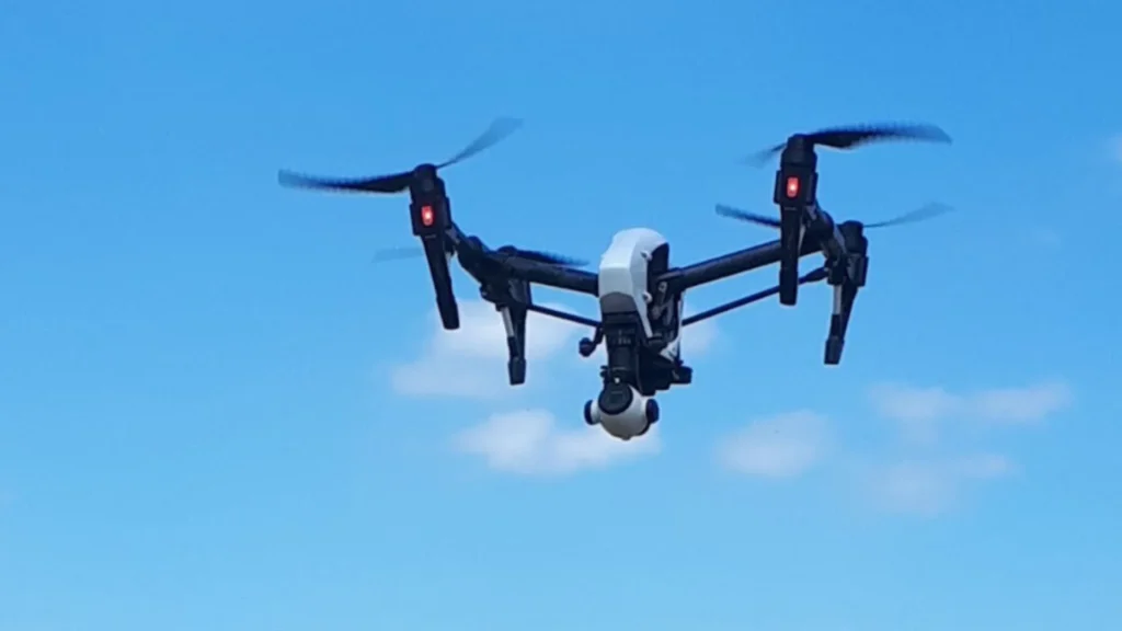
In parallel, DLR’s Earth Observation Center (EOC) carried out complementary work. Using its HySpex camera system, the EOC captured hyperspectral images, conducted weekly drone surveys, and performed spectral measurements of both the ground and the atmosphere.
Tomorrow’s Satellite Data – Tested Today
The CROPEX25 campaign centered on the high-performance, airborne F-SAR radar system developed by DLR’s Microwaves and Radar Institute. To mirror the observation pattern of the upcoming ROSE-L satellite (scheduled for launch in early 2029), researchers conducted flights over the test area every six days.
During these missions, F-SAR recorded a globally unique dataset across four frequency ranges – X, C, S, and L bands. In total, the radar team completed 23 measurement flights. On selected days, flights were carried out in the morning, midday, and evening to capture daily variations in soil and vegetation.
READ ALSO: What Do Ice Volcanoes Look Like? Scientists Just Recreated Them on Earth
READ ALSO: When a human jumped from space, setting world record for supersonic free fall
The data was acquired using advanced imaging techniques such as polarimetry, interferometry, and tomography. DLR’s experienced test pilots navigated the research aircraft along pre-defined flight paths with meter-level precision, guided by a satellite-based navigation system integrated into the F-SAR.
To complement the radar flights, a team from Ludwig Maximilian University (LMU) gathered ground-based measurements of soil and vegetation properties, including soil moisture, surface roughness, plant water content, and biomass.
All radar missions were conducted using DLR’s Dornier Do 228-212 research aircraft, operated by the DLR Flight Experiments Facility in Oberpfaffenhofen, and specially modified for these scientific campaigns.
Deeper Insight Through Diverse Data
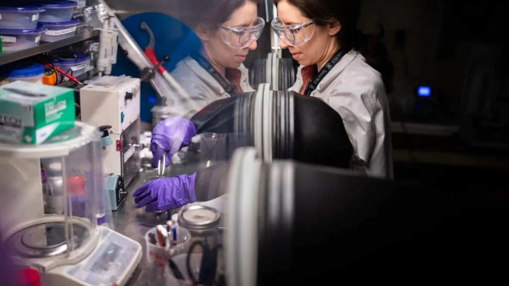
Researchers from the GFZ Helmholtz Centre for Geosciences collected soil samples to analyse both their organic and mineral composition. In one of the wheat fields, a special ESA scatterometer was deployed to automatically and continuously track changes in plant structure.
Additional measurements were made using multi- and hyperspectral sensors from DLR’s Earth Observation Center (EOC). The DLR Cessna 208B Grand Caravan, fitted with the HySpex camera system, supplied valuable reference data for existing satellite missions such as Sentinel-2, EnMAP, DESIS, and PRISMA.
READ ALSO: Potatoes Evolved Separately from Tomatoes Around 9 Million Years Ago
From the HySpex hyperspectral imagery, researchers can derive key biophysical parameters including above-ground biomass, fractional vegetation cover, and soil moisture. Using this new dataset, DLR’s Earth observation experts are also advancing evaluation methods for the upcoming CHIME satellite mission.
The test site for the measurement campaign was the agricultural region around Puch, near Munich. This area consists of small villages, patches of woodland, and farmland that makes up more than 80 percent of the landscape. A total of 15 fields, representing a variety of crop types, were selected to ensure broad coverage. Most of these fields are managed by the Bayerische Staatsgüter (Bavarian State Farms), a state-owned enterprise of the Free State of Bavaria, which authorised the data collection.
Scientific Cooperation is Key
The CROPEX25 campaign highlights the critical role of interdisciplinary collaboration in environmental research. By combining their datasets, the participating teams produced a comprehensive picture of soil and plant conditions. This joint effort also led to the development of new analysis methods, enabling earlier detection of environmental risks and supporting the advancement of sustainable agriculture.
The extensive datasets generated during the campaign reflect the strength of this close scientific partnership across institutions and disciplines.
Against the backdrop of global environmental change, the demand for high-performance satellite systems is greater than ever. Such systems are essential to monitor the state of agricultural land and provide reliable insights into crop health.
With the successful completion of CROPEX25, DLR has taken a decisive step toward preparing the next generation of environmental satellites—paving the way for more precise and truly global Earth observation.