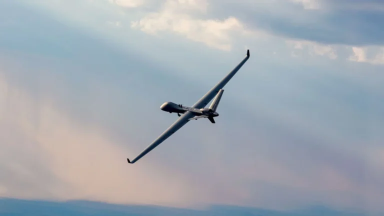

China has revealed a new AI-based system designed to automate satellite surveillance and target analysis.
The platform combines large language models (LLMs) with specialized AI agents that can independently complete complex intelligence tasks. Researchers say the system moves beyond traditional image recognition, allowing machines to interpret data, make decisions, and act on them automatically.
The project was developed by researchers from the Aerospace Information Research Institute under the Chinese Academy of Sciences. Scientists from key research laboratories also contributed to the work. The findings were published in the peer-reviewed Journal of Space Engineering University.
Surveillance AI System Revealed
The Space Engineering University operates under the People’s Liberation Army Aerospace Force. The research highlights China’s growing focus on integrating artificial intelligence into aerospace and remote-sensing systems. It also reflects increasing global competition in applying generative AI to Earth observation technologies.
Researchers describe the platform as an AI brain and a tool army. The large language model acts as the central decision-making engine. It understands user requests, plans workflows, assigns resources, and coordinates operations.
READ ALSO: Britain’s Latest Submarine Goes Underwater for the First Time in Historic Test
The AI agents function as specialized workers that carry out individual tasks. They can select appropriate algorithms, use software tools, and communicate with other agents during operations. This allows the system to handle complicated missions without continuous human supervision.
When given a command, the platform automatically breaks large tasks into smaller ones. For example, if asked to analyze a port, it can separately identify ships, classify vessel types, examine dock activity, and predict traffic patterns. It then combines the results into a complete assessment.
Unlike traditional systems that process tasks one after another, the new platform performs multiple operations simultaneously. This parallel processing reduces delays and avoids repeating calculations. Researchers say this significantly improves overall efficiency.
The system can also combine information from multiple sources. Along with satellite imagery, it can process data from drones, security cameras, and human observers on the ground. This multi-source approach helps improve accuracy and reduce mistakes during target identification.
Testing Results Show Faster Analysis
Researchers tested the platform in a port-monitoring scenario. During the trial, the system independently analyzed ship movements and operating conditions. It completed the task much faster than conventional methods.
According to the study, analysis time dropped from 342 seconds to 198 seconds. GPU utilization increased by 148.4 percent during testing. These results suggest that computing resources were used more effectively.
The research team also reported improvements in processor efficiency. CPU utilization increased from 34.2 percent to 67.8 percent. At the same time, task success rates improved from 70 percent to 90 percent.
READ ALSO: China’s Chinook-style Boying T1400 drone aces debut test flight
One important feature demonstrated during testing was autonomous fault recovery. In one experiment, a target-recognition model failed because the GPU was already occupied. The AI system detected the issue, diagnosed the cause, and automatically switched to an alternative model.
Researchers said the platform completed the mission without human intervention. This ability helps maintain operations even when technical problems occur. It also reduces dependence on manual troubleshooting.
Global Race to Build AI-Driven Earth Observation Systems
China’s announcement comes as governments and organizations worldwide invest heavily in AI-powered Earth observation technologies. Major projects are underway in the US and Europe. These initiatives aim to improve the processing and interpretation of satellite data.
Programs such as Google Earth AI, NASA’s Earth Science Data Systems initiative, and the European Space Agency’s AI foundation-model projects are exploring similar capabilities. Academic efforts, including EarthGPT and GeoChat, are also developing AI systems for remote sensing analysis. The goal is to transform vast amounts of satellite data into useful information more quickly.
China holds several advantages in this field. The country has access to large volumes of data, a rapidly expanding commercial space sector, and strong government support for AI development. These factors provide a foundation for the large-scale deployment of intelligent observation systems.
WATCH ALSO: A new type of airless steel wheels can transform operations of heavy-duty mining trucks
Lead researcher Wang Lei said future work will focus on improving collaboration between large language models and AI agents. Researchers also plan to strengthen multimodal data processing and optimize deployment in larger, more complex environments.
The long-term goal is to create autonomous remote-sensing systems that can understand new situations and operate effectively with limited human involvement.
As satellite networks continue to expand and data volumes grow rapidly, intelligent AI platforms are becoming important. China’s new system highlights how artificial intelligence is reshaping remote sensing, surveillance, and Earth observation. The technology is expected to play an important role in both civilian and strategic applications in the years ahead.