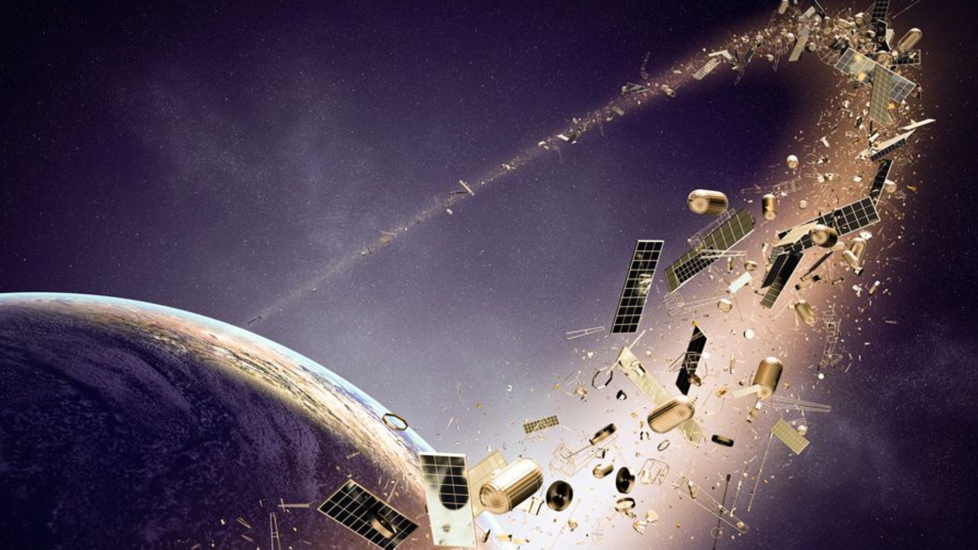
A new study has identified dozens of previously undetected pieces of space junk in geostationary orbit, raising concerns about the safety of some of the world’s most valuable satellites.
Researchers from the University of Warwick used advanced image processing techniques to detect small debris that earlier surveys had missed. The findings highlight growing challenges in maintaining safe critical satellite operations in one of Earth’s busiest orbital regions.
The study revealed that tiny fragments measuring as little as 2 inches (5 centimeters) are present in a region occupied by many high-value satellites. Their findings were published in the Journal of Astronautical Sciences in June.
The team revisited data collected during an earlier space debris survey using the 8.3-foot (2.54-meter) Isaac Newton Telescope in La Palma, Canary Islands. Instead of gathering new observations, they applied improved image-processing methods to existing images. This approach allowed them to detect much smaller and fainter objects than previous analyses.
Researchers identified 25 debris tracks that earlier studies had overlooked. Around 80 percent of those tracks were linked to previously unknown objects. The discovery suggests that the amount of debris in geostationary orbit may be higher than current estimates.
Valuable Orbit Explained
Geostationary orbit lies about 22,000 miles (36,000 kilometers) above Earth. Satellites at this altitude move at the same speed as Earth’s rotation, allowing them to remain above the same point on the equator. This constant position makes the orbit ideal for television broadcasting, internet services, weather forecasting, and Earth observation.
A single satellite in this orbit can continuously monitor or serve a large part of the planet. Many governments and commercial companies rely on these satellites for communication and critical infrastructure. Because of their importance, these spacecraft are often large, advanced, and expensive to build and operate.
Space consultant Stuart Eves, a co-author of the study, compared the orbital region to a minefield. He said no satellite operator should send spacecraft into geostationary orbit without first understanding the surrounding debris environment. His comments underline the need for better tracking of even the smallest objects.
READ ALSO: MIT’s SceneSmith Uses AI Agents to Build 3D Robot Training Worlds Faster Than Ever Before
Space Junk Hides Everywhere
The research team relied on a technique known as blind stacking to improve the visibility of faint objects. The method combines multiple telescope images while testing different possible movement paths for hidden targets. This process increases the likelihood of detecting objects that would otherwise remain buried in background noise.
Research fellow Ben Cooke said the technique significantly improves the sensitivity of astronomical observations. He explained that stacking images along likely paths of objects makes faint debris easier to identify. The project also demonstrated that older datasets can reveal new information when analyzed with modern tools.
The findings show that improved software can expand knowledge without requiring entirely new telescope observations. Similar techniques may help scientists discover additional debris in other orbital regions. This approach also offers a cost-effective way to improve space monitoring.
Long-Term Collision Risks
Space debris behaves differently in geostationary orbit than in lower orbits closer to Earth. At this altitude, the atmosphere is almost nonexistent, so there is no air resistance to slow debris down or pull it back toward the planet. As a result, fragments can remain in orbit for extremely long periods.
Research fellow James Blake said this makes geostationary debris especially difficult to manage. Small objects are faint and hard to detect because they are so far from Earth. Once new debris forms from collisions or satellite breakups, it remains in the region rather than naturally burning up.
Even tiny debris fragments can cause severe damage because objects in space travel at several kilometers per second relative to one another. Many geostationary satellites carry solar panels stretching more than 100 feet (30 meters), making them vulnerable to impacts. A collision with a small fragment can damage critical systems or shorten a satellite’s operational life.
The growing amount of debris presents challenges for satellite operators, insurers, and space agencies worldwide. Better tracking systems will help improve collision avoidance and protect valuable space infrastructure. Researchers now plan to examine observations from additional telescopes to build a clearer picture of debris across the geostationary belt.
As more satellites are launched to support global communications and weather monitoring, maintaining a safe geostationary environment will be important. Improved detection methods can strengthen space traffic management and guide future debris mitigation efforts. The latest findings provide an important step toward protecting one of the most valuable regions of Earth’s orbital space.