Chinese researchers have introduced a new way to navigate without relying on traditional GPS signals.
The system, described as ‘lighthouses in space,’ uses light instead of radio waves to guide everything from drones to spacecraft.
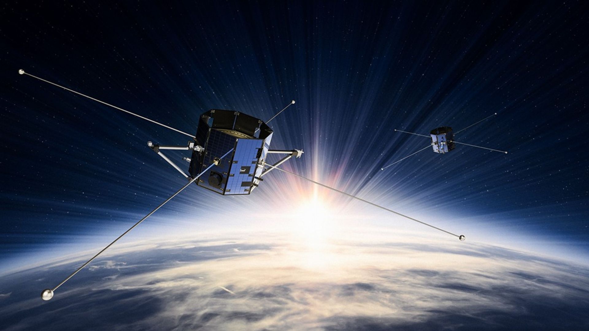
The project is led by a team at Tsinghua University, which has built a network of 11 satellites equipped with powerful light sources. These satellites send coded optical signals to Earth, helping receivers determine their exact position even when GPS is weak or disrupted.
READ ALSO: From Butterflies to Eagles: China’s New Drones Are Changing Aerial Tech Fast
Most navigation systems today, including GPS and China’s BeiDou, rely on radio signals from satellites. These signals can be jammed or blocked, especially in conflict zones or dense urban areas. The new system aims to solve that problem by using beams of light that travel in straight lines and are less prone to interference.
Xing Fei, who leads the research, explains the idea simply. He says the team has drawn inspiration from how ancient sailors used coastal lighthouses to navigate at sea. He adds that the new satellites act like lighthouses in space, guiding modern vehicles and missions.
The system works by sending focused light signals from satellites to ground- or airborne receivers. These receivers detect the direction of the incoming light and combine it with known satellite positions to calculate their own location. This method offers high accuracy and strong resistance to signal jamming.
Optical navigation is not entirely new. It has already been used in military and space operations. During recent conflicts, drones developed by companies like Asio Technologies and General Atomics have relied on such systems when GPS signals were unavailable.
WATCH ALSO: China’s new massive battle tank takes part in live-fire test
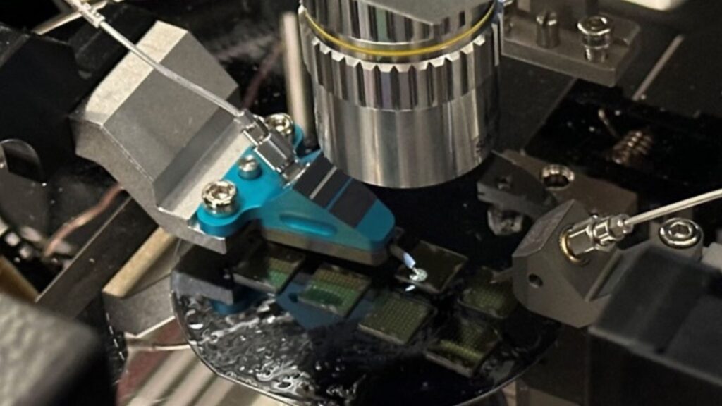
However, the Chinese system marks a significant step forward by expanding from single-satellite use to a full network. The researchers have also made the technology more practical by reducing the size of optical sensors, moving them from heavy equipment to lightweight components.
Despite its advantages, the system has limitations. It depends on a clear line of sight between the satellite and the receiver. Weather conditions, such as clouds, as well as physical obstacles, can affect performance. Because of this, the team does not see it as a replacement for existing systems but as a complementary solution.
The research has been in development for over two decades. Over time, it has evolved from basic orientation tools to a full navigation system. The team has also turned its core technology into standardized aerospace products, which have reportedly been supplied to several countries.
Looking ahead, researchers plan to combine this optical system with existing communication networks. The goal is to improve navigation in complex environments such as tunnels, underground roads, and crowded cities where signals often fail.
READ ALSO: US Self-Destructor Mines Found Near Iran; A Hidden War Tactic Emerges
The technology also holds promise for deep-space missions. In areas without GPS, even a single satellite with a light beacon could guide spacecraft landings. China has already used similar optical techniques in its lunar missions, including Chang’e-3, which used cameras to navigate and land on the moon.
As navigation needs grow more complex, systems like these may quietly reshape how machines find their way on Earth and beyond.