

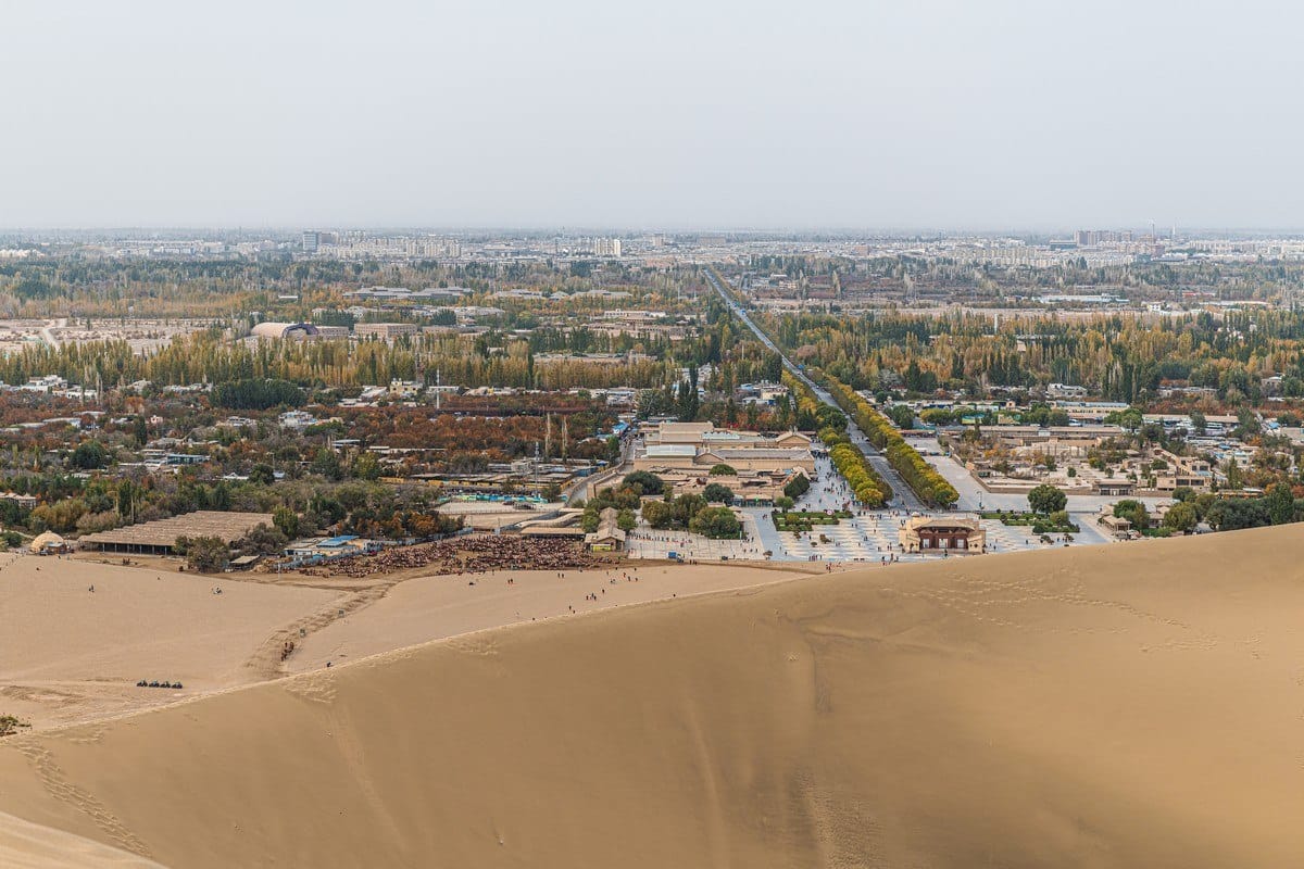
China has found two large groundwater reserves beneath the Taklimakan Desert in Xinjiang.
The discovery is giving researchers new information about underground water in one of the world’s driest regions. Scientists are now studying whether the resources can be used without putting long-term pressure on the desert’s fragile environment.
The discoveries were made during a groundwater exploration project by the Hydrology and Environmental Geology Survey Center of the Xinjiang Geological Bureau.
One reserve was identified near a town in Minfeng County, along the southern edge of the Taklimakan Desert. The other was found south of the Mazartag Mountains in the desert’s interior.
The research team used several methods to study the underground water. These included satellite remote sensing, aerial geophysical surveys, ground exploration and drilling. These methods helped researchers examine underground formations across areas that are difficult to study from the surface.
READ ALSO: https://modernmechanics24.com/post/lockheed-agm-158-flex-modular-airframe/
The survey found both fresh and saline groundwater. Researchers also found that the groundwater is moving rather than remaining completely trapped underground. This movement indicates that parts of the system have a renewable component, although further research is needed to determine the rate and limits of that renewal.
Mapping Underground Water
Researchers have created three-dimensional and hydrogeological models of the areas. These models show where fresh and saline groundwater is located below the desert. They also help researchers estimate available water and study how different groundwater sources may be used.
This information is important because groundwater quality varies across the desert. Fresh water has direct value for human and agricultural use. Brackish or saline water requires more careful management because its high salt content can affect crops and soil.
The research team has established a pilot station to test the use of brackish groundwater for irrigation. The tests are linked to projects that aim to control the spread of the desert and improve ecological conditions. Researchers are studying how such water can be used without creating new environmental problems.
Water And Desert Restoration
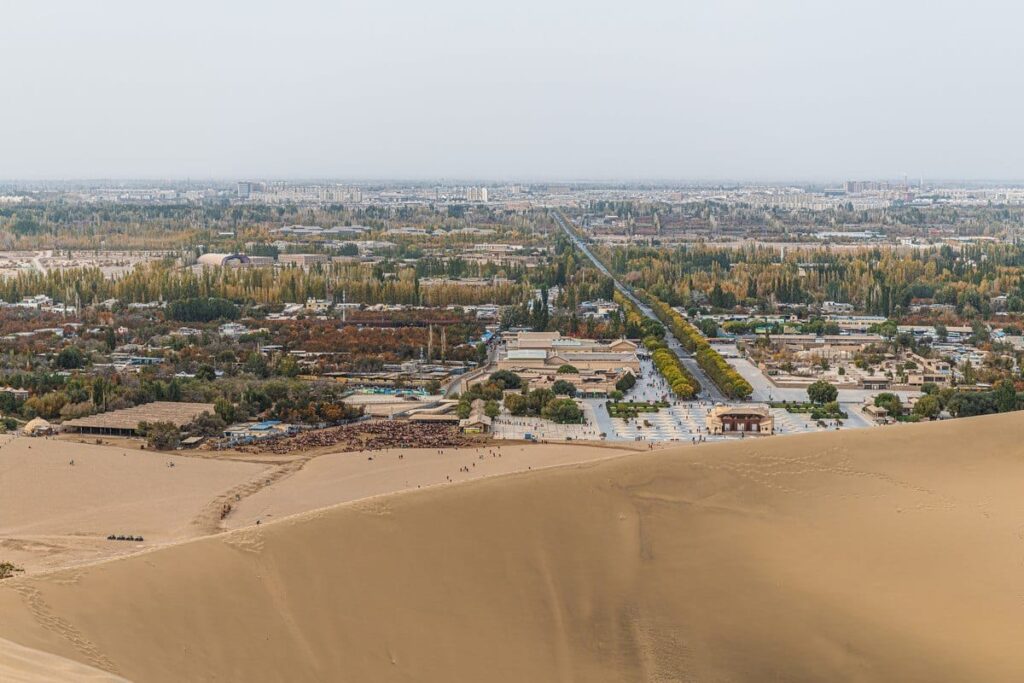
Water is a major challenge in the Taklimakan Desert. The region has very little rainfall, while high temperatures and strong evaporation increase water loss. This makes careful management of both surface water and groundwater important for communities, agriculture and ecological projects.
The new groundwater data can help planners understand where underground water is available. It can also help identify areas where water extraction needs to be limited. This is important because heavy groundwater pumping can lower water levels and place pressure on ecosystems that depend on underground water.
The findings are also linked to China’s efforts to control desertification. Vegetation can help stabilize sand and protect farmland, roads and other infrastructure. Reliable information about groundwater can help determine where ecological restoration projects can be supported by available water.
China has been developing a large green shelterbelt around the Taklimakan. The completed belt stretches about 3,046 kilometers around the desert. Better groundwater mapping can provide additional information for managing water resources in areas involved in desert-control efforts.
WATCH ALSO: https://modernmechanics24.com/post/anduril-altius-700m-loitering-munition/
Focus On Sustainable Use
Kang Jian, head of the exploration project, said the team used multiple exploration techniques to study the groundwater system. The research has focused on the location, movement and quality of underground water rather than simply measuring its volume.
Zhang Lei, director of the survey center, said the main question is whether these groundwater resources can support long-term development in desert regions. The project also aims to provide geological information that can improve water security in southern Xinjiang.
The Taklimakan Desert covers about 337,600 square kilometers. It is China’s largest desert and one of the world’s largest shifting deserts.
The discovery does not mean that all the groundwater can be extracted for use. Long-term monitoring will be needed to understand how quickly the water is replenished and how much can be safely pumped.
Researchers will also need to assess the effects of brackish water irrigation on soil and vegetation. These studies will help determine how groundwater can support ecological restoration while protecting the underground reserves.
For the Taklimakan, the next step is therefore careful assessment rather than large-scale extraction. The new groundwater maps and pilot studies can provide a scientific basis for deciding where water can be used, how much can be taken and which resources should remain protected.







One Response