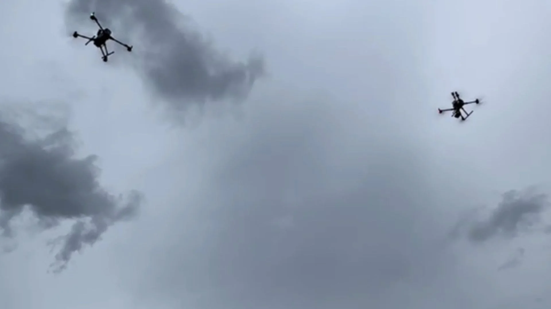
China has completed its first full-process drone swarm observation of Typhoon Noul, marking a new step in weather monitoring.
Researchers collected three-dimensional atmospheric data throughout the typhoon’s passage to improve forecasting and study drone operations in severe weather. The experiment was carried out as Typhoon Noul moved across southern China.
Typhoon Noul Mission Begins
Typhoon Noul made landfall in Guangdong Province with maximum winds reaching Force 14 near its center, according to China’s National Meteorological Center.
The agency issued an orange typhoon alert on Sunday before reporting that the storm later weakened from a severe typhoon to a typhoon. The observation mission took place at the China Meteorological Administration’s low-altitude unmanned aviation meteorological experiment base in Shenzhen.
READ ALSO: This Quantum Heat Engine Breaks the Rules of Heat And Cools While It Powers Up
How the System Works
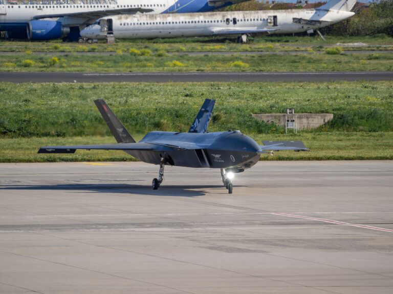
Unlike a single drone, a drone swarm uses several unmanned aircraft working together at the same time. Each drone carries weather sensors and collects information from different locations and heights. This coordinated approach creates a detailed three-dimensional picture of the atmosphere that is difficult to achieve with traditional observation methods.
Data Collection Focus
Researchers continuously measured temperature, humidity, wind patterns, and air turbulence before and after the typhoon passed. They also recorded drone flight performance, including flight attitude, route deviations, and battery power consumption. These records will help scientists better understand how drones perform safely in extreme weather conditions.
Why It Matters
The technology helps fill observation gaps over low-altitude coastal areas where weather data is often limited. More detailed and real-time information can improve typhoon tracking, forecast accuracy, and emergency planning.
As drone technology becomes more widely used, the findings are expected to support future weather monitoring systems and safer drone operations during severe storms.