Safe Pro Group Inc. has deployed a major upgrade to its AI threat detection platform, enabling U.S. Army drones to identify landmines and ambush drones and create detailed 2D/3D maps—all in GPS-denied environments. The new capabilities, born from real-world feedback in Ukraine, will be demonstrated at the U.S. Army’s 2026 Concept Focused Warfighter Experiment (CFWE) at Fort Hood, Texas.
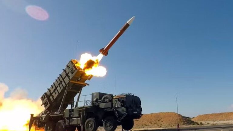
In modern warfare, losing GPS signal isn’t a hypothetical—it’s a tactic. Jamming and electronic warfare can blind drones, turning them into lost assets. But what if the drone could still “see” and map threats even when it can’t find itself on a global map? That’s the breakthrough Safe Pro Group Inc. is bringing to the field. The company has just deployed enhanced artificial intelligence algorithms to its patented Safe Pro Object Threat Detection (SPOTD) platform, specifically designed to operate when GPS is unavailable. This isn’t just a lab experiment; it’s a direct response to soldier requests from front-line exercises, according to the company’s announcement.
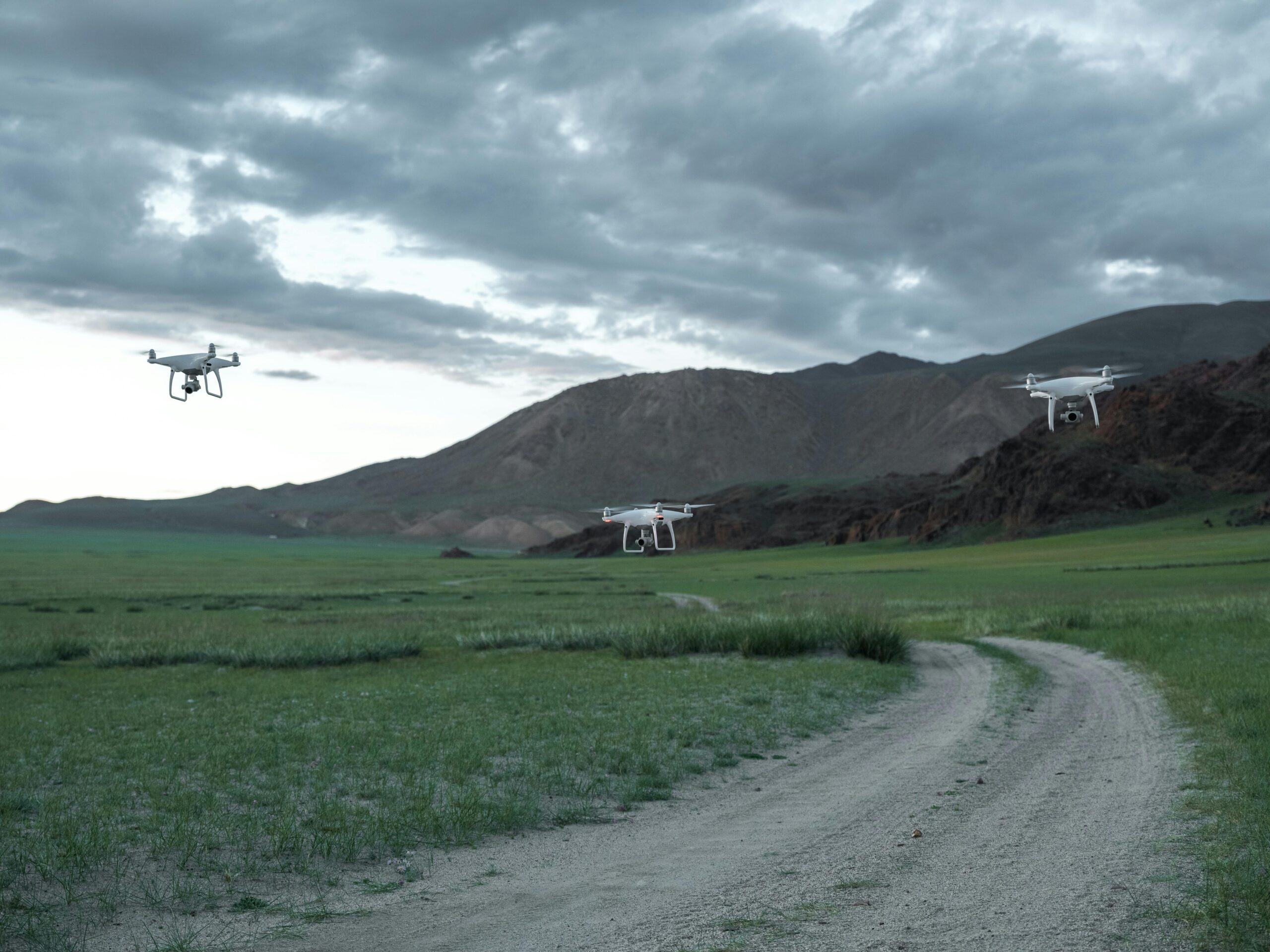
The core of SPOTD is rapid battlefield image analysis. It processes video from virtually any drone—whether commercial or military-grade—to identify small, deadly threats like improvised explosive devices and loitering munitions. The newly integrated algorithms allow the system to do something crucial: construct accurate 2D and 3D models of the terrain and threat locations without relying on GPS signals. This capability was refined after “real-world exercises in Ukraine at the request of end users,” the company stated. By operating on the Amazon Web Services (AWS) Cloud or directly on devices at the tactical edge, SPOTD ensures analysis can continue anywhere.
READ ALSO: https://modernmechanics24.com/post/china-mind-control-robot-telepathy-tech/
Dan Erdberg, Chairman of Safe Pro Group Inc., emphasized the operational impact: “The enhancements now deployed in SPOTD bring significant operational advantages to our customers, making it an indispensable tool for government end users seeking actionable intelligence in the harshest electronic warfare-contested environments.” He added that the system is built on evolving soldier feedback and tactics, redefining AI’s role in delivering actionable intelligence.
So, what exactly can the upgraded system do? The enhancements are substantial. Beyond core threat detection, SPOTD can now model terrain to plan safe routes for unmanned ground vehicles (UGVs). It also features a “Rapid Mapping Only Mode” for reconnaissance missions that don’t require immediate threat alerts. Perhaps most impressively, proprietary geospatial AI algorithms have led to an up to 10x reduction in processing time, a critical factor when seconds count. The system’s intelligence is powered by a massive, unique dataset: over 2.2 million drone images analyzed, leading to the identification of 41,400+ threats across 11,400 hectares (28,000 acres) of terrain.
WATCH ALSO: https://modernmechanics24.com/post/ula-atlasv-amazon-leo-success/
The upcoming demonstration at Fort Hood is a key milestone, placing SPOTD directly in the hands of U.S. Army personnel evaluating future technologies. By providing a clear, mapped common operating picture even when satellites are jammed, Safe Pro aims to turn a significant vulnerability into a resilient advantage for soldiers on the modern battlefield.